Just a quick note...
We have now added photos to our posts for our Summer 2016 circumnavigation of Vancouver Island.
Wednesday, 31 August 2016


Sunday, 28 August 2016
Vancouver Island circumnavigation: the numbers

[Under construction...]
Total distance: 976 nautical miles
Total number of days: 79
Number of nights at anchor: 55 At a dock: 20 On a mooring: 3
Number of new (to us) anchorages/docks/moorings: 18
Engine hours: 178.6 hours
Number of days with (some) sailing: 13
Longest sail: 26.2 nm (Scotch Fir Point to Copeland Islands)
Number of days travelling in thick fog (visibility <1 nm): <1 day total ( an hour here and there)
Favourite anchorages (tied): Battle Bay/Nuchatlitz/Lucky Creek
Most stunning anchorage views (tied): Princess Louisa Inlet/Nuchatlitz
Favourite towns/villages (tied): Sointula/Port Alice/Ucluelet
Favourite docks: Sointula public docks (Malcolm Island Lions Harbour Authority)
Worst experience: Tofino waterfront and "anchorage"
Wednesday, 17 August 2016
Back to the mountains...
 |
| Wildflowers on Whistler Mt |
We ended our circumnavigation with a few nights on Pelagia in the Gulf Islands. Beautiful as ever, but oh so crowded. We really were spoiled on the west coast of the island as well as in the Broughtons. Prior to the Gulf Islands, the most boats we had in an anchorage was 14 (the one night in Joe's Bay in the Broken Group), and that was an aberration (other places in Barkley Sound had only 1-4 other boats anchored).
So, we were happy to get Pelagia back to her home berth at the Vancouver Rowing Club.
 |
| Black Tusk from Whistler "High Note" trail |
 |
| Overlord Glacier and Mt. Fissile from Decker Loop trail (Blackcomb Mt) |
Friday, 5 August 2016
Back down south...
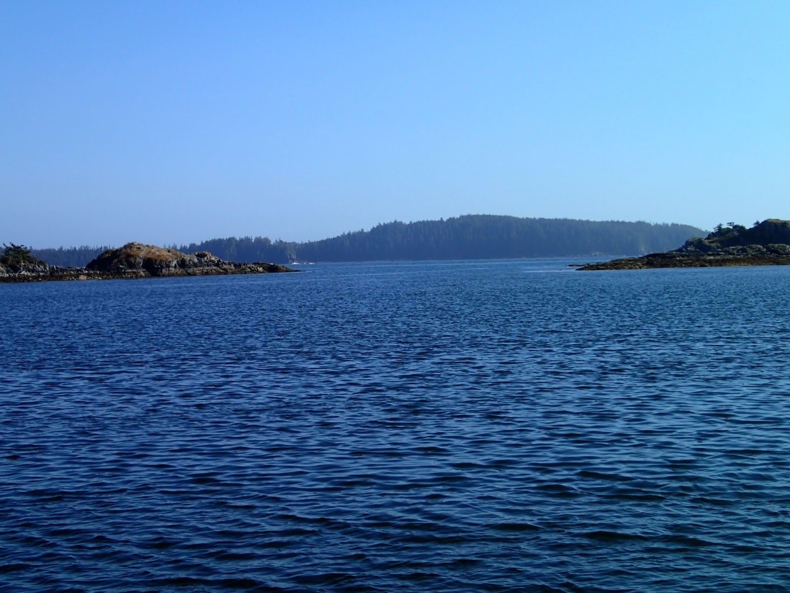 |
| South entrance to Dodger Channel from inside (shallow at zero tide) -- Cape Beale behind |
* Note: the South entrance to Dodger Channel is only about 3 feet at zero tide, contrary to the 9+ feet indicated by at least one popular guidebook, as well as the 2.8 metres (>9') suggested by the CHS chart (however, the CHS chart does not indicate this is the minimum depth).
After a couple days in the anchorage in Dodger Channel, we headed East/South towards Port Renfrew. We elected (slept in) to leave Dodger Channel later (10 am) in order to miss the fog and hopefully to get some afternoon wind.. We were successful with the fog (none all the way past Victoria), but the wind didn't come up until Port Renfrew. We were going to anchor at Thrasher Cove, but it was blowing 15-20 knots with wind waves in this small anchorage. Fortunately, the new "Pacific Gateway" marina in Port Renfrew had space. (This brand new in 2016 marina has great docks and, importantly, an excellent high rock breakwater. Space for larger boats is limited so making an advance reservation is recommended.)
Next day, we waited again for fog to clear, and (hopefully) for winds to pick up. This time we were lucky, with a wonderful sail from San Simeon all the way to Becher Bay, with Fin our Hydrovane steering us (and no fog!).
It was blustery in Murder Bay (Becher Bay) but it was nearly empty, no seas and an excellent anchorage.
Next morning, we waited for slack current at Race Passage, then motored the 35 nm all the way to Sidney in the sun, helped by a flood current in many places.
Our trip down the west coast of Vancouver Island completed.
Friday, 29 July 2016
Lazy days in Barkley Sound
After a couple days provisioning (and going out for dinner!) in Ucluelet -- again, a great place to visit and great public docks -- we headed out to the Broken Group (Pacific Rim National Park), aiming for the anchorage between Dodd and Turtle Islands (sometimes referred to as "Joe's Bay"). When we arrived, we were only the third boat, so we were a little surprised later to have 14 boats (10 from the USA, most from the Portland Yacht Club) around us (including a very large 60+' motor-sailor that wanted to anchor only some 60 metres from us and another boat -- even though at the time the bay was 2/3 empty... ARRRRGH!).* It was still a quiet night.
[* Turned out, the 14 boats was an exception -- the rest of our time in Barkley Sound would only see 1-3 other boats anchored with us.]
Next day we headed out of the Park over to the Pinkertons. We found solitude, and stayed put for three nights (only one other boat came in). We got in a couple of good kayak trips, and even spent a few hours losing lures and flashers (as opposed to catching any fish -- well, we caught a couple too small ones we returned to the sea). Mornings were very foggy, but usually the sun burned off the fog and the afternoons were sunny.
Next, we moved to Pipestem Inlet, to the anchorages near Lucky Creek, where we are currently. After trying a couple anchorages with only partial success (rocky bottom), we finally got a spot behind Refuge Island later when others left. Sea water temps are up to 23.5 degrees C -- great swimming temperatures; Sea of Cortez temperatures. So we have been in the water multiple times. Nights, so far, have been very calm. Last night, we scored a huge filet of fresh-caught salmon from folks on the Victoria-based sailboat "Saturnus" -- very very nice of them to come to the aid of this terrible fisherman (David). Today, we kayaked up Lucky Creek to its great fresh water swimming pools and falls.
After Lucky Creek, we picked up some fuel and water in Bamfield, then headed over to Dodger Channel.* Dodger is a great location: a wild, west coast anchorage (you can hear the swells breaking outside, yet it is calm inside), close to Cape Beale and hence a great jumping off spot to head south/east to Sooke.
* Note: the South entrance to Dodger Channel is only about 3 feet at zero tide, contrary to the 9+ feet indicated by at least one popular guidebook, as well as the 2.8 metres (>9') suggested by the CHS chart (however, the CHS chart does not indicate this is the minimum depth).
We spent two nights at Dodger, trying to judge weather, allowing us some kayak time.
[* Turned out, the 14 boats was an exception -- the rest of our time in Barkley Sound would only see 1-3 other boats anchored with us.]
Next day we headed out of the Park over to the Pinkertons. We found solitude, and stayed put for three nights (only one other boat came in). We got in a couple of good kayak trips, and even spent a few hours losing lures and flashers (as opposed to catching any fish -- well, we caught a couple too small ones we returned to the sea). Mornings were very foggy, but usually the sun burned off the fog and the afternoons were sunny.
 |
| Kayaking in the Broken Group |
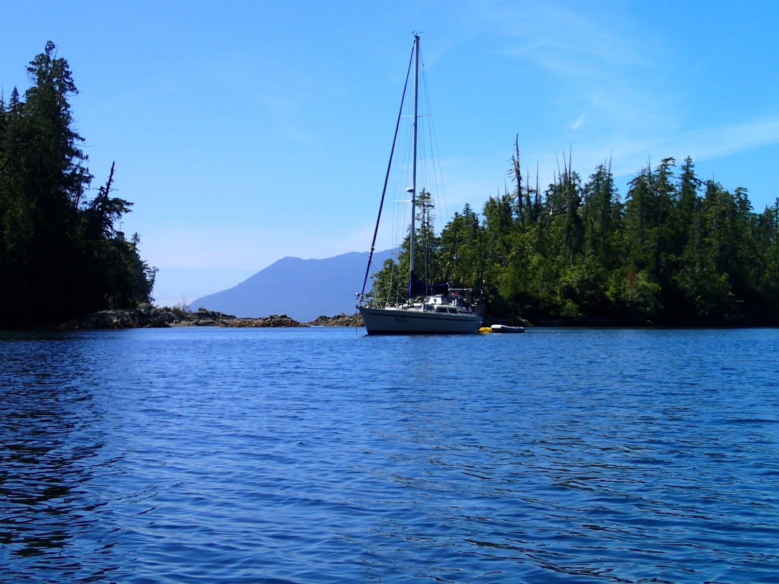 |
| Pelagia, anchored in the Pinkertons |
Next, we moved to Pipestem Inlet, to the anchorages near Lucky Creek, where we are currently. After trying a couple anchorages with only partial success (rocky bottom), we finally got a spot behind Refuge Island later when others left. Sea water temps are up to 23.5 degrees C -- great swimming temperatures; Sea of Cortez temperatures. So we have been in the water multiple times. Nights, so far, have been very calm. Last night, we scored a huge filet of fresh-caught salmon from folks on the Victoria-based sailboat "Saturnus" -- very very nice of them to come to the aid of this terrible fisherman (David). Today, we kayaked up Lucky Creek to its great fresh water swimming pools and falls.
 |
| Kayaking up Lucky Creek |
 |
| Lucky Creek |
 |
| Cool, clear water of Lucky Creek |
After Lucky Creek, we picked up some fuel and water in Bamfield, then headed over to Dodger Channel.* Dodger is a great location: a wild, west coast anchorage (you can hear the swells breaking outside, yet it is calm inside), close to Cape Beale and hence a great jumping off spot to head south/east to Sooke.
* Note: the South entrance to Dodger Channel is only about 3 feet at zero tide, contrary to the 9+ feet indicated by at least one popular guidebook, as well as the 2.8 metres (>9') suggested by the CHS chart (however, the CHS chart does not indicate this is the minimum depth).
We spent two nights at Dodger, trying to judge weather, allowing us some kayak time.
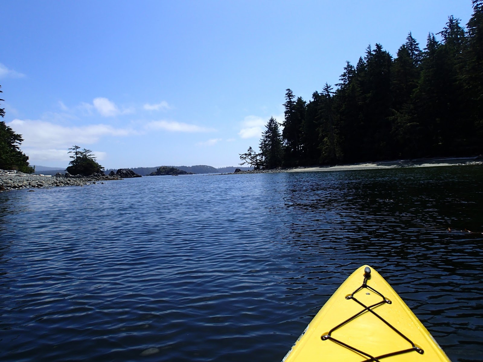 |
| Kayaking in Dodger Channel area |
Friday, 22 July 2016
Tofino: Not a friendly place for cruising boats
UPDATE: There is a relatively new marina/resort in Tofino. Very little space (esp for boats >30') and pricey (2023: C$4/ft!). Reserve ahead! https://tofinoresortandmarina.com/the-marina-2/

Just a short note for cruisers considering a stop in Tofino: don't bother. Go to Ucluelet.
Moorage at Tofino's public dock is extremely limited for transient cruising boats -- during July/August cruisers will almost certainly have to "raft" if they can find space. (Another cruiser suggested the problem is due to the high rents in Tofino, resulting in more liveaboards. However, this problem was also present 14 years ago in 2002.) We didn't see any space, so elected to anchor off the marina (as we did in 2002, when we also found the public docks to be a poor choice). Well, there was 3-5 knots of current roaring through the anchorage which was full of crab traps (thanks Tofino locals!). We managed to get anchored and ate lunch while we watched the "river" flow around us, and saw Pelagia getting too close to propeller-snagging crab-trap lines. (The night before, a friend had been anchored on the other side of this anchorage, and had been yelled at by a tug boat skipper for being "in the channel".) While anchored, we also watched (with anger) tour boats roar by (at 20-30 knots), with no regard to the effects of their wake on us. Meanwhile, float planes kept landing near us.
With all this cacophony and the dicey anchorage, we decided to get away from Tofino. We planned to head over to the anchorage at Windy Bay, ~7.5 nm away, which would add 1.5-2 hours to our trip to Ucluelet the next day, but would at least be safe and peaceful. As it turns out, as we went down Browning Passage, we felt it might be possible to anchor on the side of the wide portion of this passage a mile or so South of Tofino. The current was still swift, but there was tons of room and no boats passing close by. (And, to liven things up, just as we got our anchor down, a grey whale surfaced right beside Pelagia, giving the stink eye to Michelle -- and stink breath -- and really giving her a fright!) Not sure why guidebooks haven't suggested this as an anchorage option (which made us wonder if there was some problem, such as a fouled sea floor, which we would find out the hard way the next morning).
Our night was quite peaceful, and the next morning, we weighed anchor (thankfully with only seaweed to clean off), and, with a fast ebb flowing out to the ocean (including at our anchorage), we zipped past chaotic (and cruiser unfriendly) Tofino and headed to Ucluelet.
Arrival in Ucluelet presented such a positive contrast to Tofino: there is a speed limit in the harbour which seems to be observed, so no boats roaring by; Ucluelet public dock is so well organized, the harbourmaster Kevin (and staff) very responsive, even meeting your boat to help with docking. Provisioning in Ucluelet is excellent. Ucluelet is a very nice town.
Note to Tofino Town Council: if you want cruisers to visit, make it more friendly to cruising boats. Learn from places who do it right like Ucluelet, Port McNeil, Sointula, etc. As it stands, Tofino seems only to care about tourists going out on whale-watching and hotsprings tour boats, as well as sportsfishers. Until this changes, we will avoid Tofino.
Sunday, 17 July 2016
Checleset Bay, Kyuquot and Esperanza/Nootka
 |
| Motoring towards Brooks Peninsula |
 |
| Solander Island (Brooks Peninsula behind) |
After rounding the Brooks Penninsula, we anchored with SV Carousel in the west side of Battle Bay. Dotted with rocks with beautiful beaches, this was a beautiful place. It felt like the wildest place we'd anchored in so far. The following day, we were joined by Rolly and Marian on MV Tropic Isle for a dinner with 8 of us on Pelagia. (This rendezvous had been arranged a couple days earlier via HAM radio on the Great Northern Boater's Net.) We first met Rolly in 2002 while on a mooring buoy at Columbia Cove (only a few miles away from Battle Bay; the mooring buoys have been removed), and have crossed paths a few times since then. Rolly is well-known up-and-down the B.C. coast (and even in Alaska): at 80 years young, he has circumnavigated Vancouver Island at least 25 times. Every Summer he does a long trip, with Marian joining him at different points. We had great fun at dinner on Pelagia, Michelle having cooked up at wonderful chicken curry in the pressure cooker.
 |
| Battle Bay anchorage |
 |
| Bear on the beach (Battle Bay) |
 |
| Battle Bay |
 |
| Rolly & Marian (MV Tropic Isle) in Battle Bay |
After Battle Bay, Rolly offered to "guide" us through rock-strewn "False Gay Passage" (not the official name, but a passage cruising guides warn "not to enter") and then to an unknown, uncharted special anchorage not in any cruising guide. The passage was a little nerve wracking but following both MV Tropic Isle and SV Carousel, it turned out OK. Passage into the secret anchorage was a little more eventful: the other two boats draw 4.5 feet, Pelagia draws 6 feet. Rolly indicated the narrow pass into the anchorage would have more than enough depth. After Carousel and Tropic Isle went in with no issue (and reporting 15 feet depth), we followed. We probably were 5-10 feet off-centre in entering, and "found bottom". That is, we skidded over the top of a rock: didn't stop moving and the touch was pretty "smooth". We anchored and then surveyed the entrance: turns out there was indeed a rock with about 5-6 feet over it when we entered (3-4 feet at zero tide).
[Update: weeks later, in Pipestem Inlet, with water temperatures as warm as 24 degrees C, David finally got to dive and check Pelagia's keel. As expected, there was only a small nick on the bottom. clearly, we had barely hit the top of a flat rock. No big deal.]
 |
| Following SV Carousel and MV Tropic Isle in the Bunsbys |
 |
| Entrance to secret anchorage (from inside): a rock lies in the middle... |
 |
| Anchored in the Bunsbys |
 |
| Kayaking in the Bunsbys |
 |
| 1st Nation's Burial Cave |
 |
| Battleship Island (Bunsbys) |
 |
| Green Head (Bunsbys) |
Next day, Rolly and Marian headed over to Columbia Cove, while Carousel and Pelagia headed to Kyuquot (sometimes referred as "Walter's Cove"). The winds were still blowing SE 20-25 knots, and we had to spend an hour or so beating through a narrow passage surrounded by waves crashing on nasty rocks in order to get to a more-protected route. An engine failure at any point could be very bad news, and David was always on the lookout for an escape route by sail. Happily, once through the rocks, the rest of the trip was fairly easy and comfortable. We arrived in Kyuquot in time to do a little grocery shopping (and water fill-up) at the Kyuquot store (currently only open MWF, 1-5 pm). We then went out for fish (halibut) and chips at "Java the Hut" (which also had free WiFi: trouble is, its WiFi "acts up" whenever it rains -- which it does routinely in Kyuquot -- so we had no WiFi).
 |
| Kyuquot public dock and store |
 |
| Goodbye to SV Carousel -- leaving Blue Lips Cove |
 |
| Kayaking at entrance to Dixie Cove (Kyuquot Sound) |
 |
| Grogan Rock, Clear Passage |
 |
| Nuchatlitz -- a favourite anchorage |
 |
| Raft of sea otters (Nuchatlitz) |
 |
| Nuchatlitz anchorage |
sunny day to go ashore and visit this very historic (and scenic) place: visiting the small church, the former village site, graveyards, lake, and the Nootka Lighthouse. While we were anchored, the old MV Uchuck III arrived and docked, full of day-tripping (but respectful) tourists. Back in 2002, we anchored in Friendly Cove in thick fog, and didn't go ashore; we were glad to be able to have a better visit in 2016.
 |
| Entering Friendly Cove (Nootka lighthouse on left) |
 |
| MV Uchuck III at Friendly Cove |
 |
| Friendly Cove |
 |
| Stained glass in Yuquot church |
 |
| Yuquot church |
 |
| Pelagia at anchor (photo from Nootka lighthouse) |
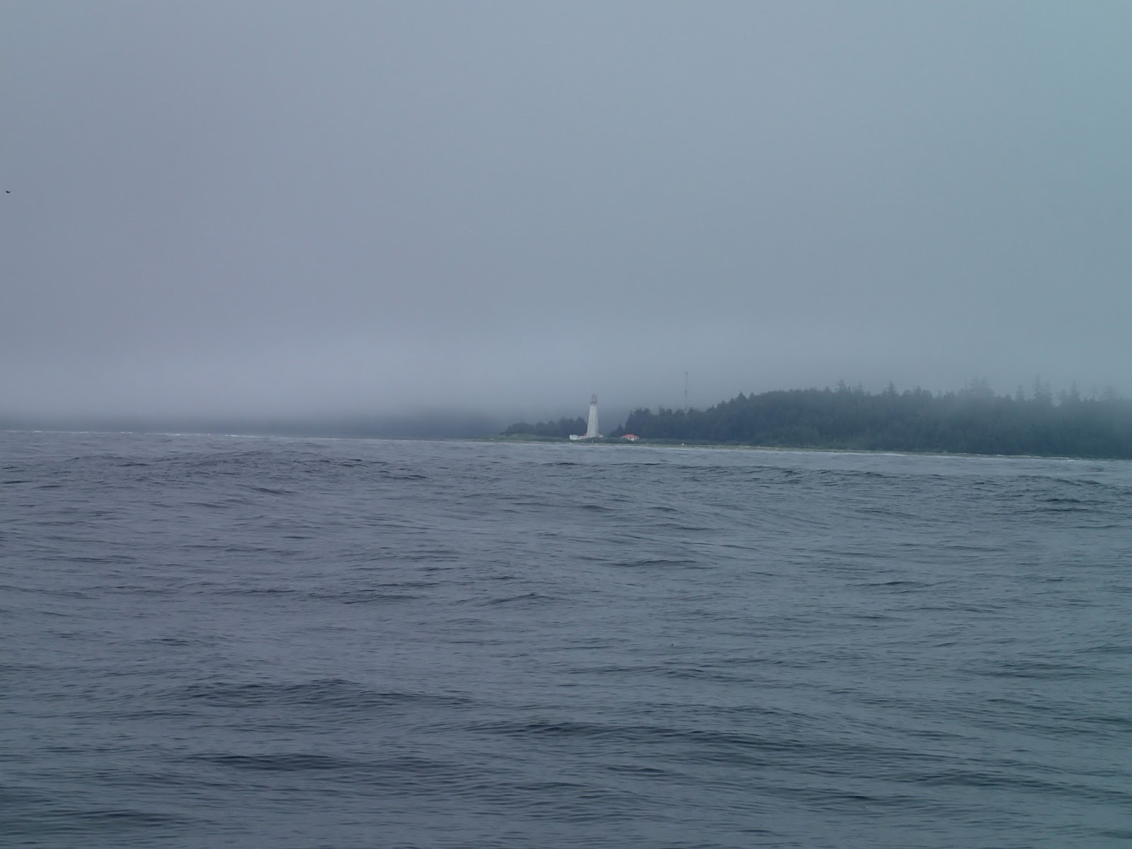 |
| Rounding Estevan Point of a calm, windless (and foggy) day |
Clearly, we were no longer on the "wild west coast".
Subscribe to:
Posts (Atom)