Saturday, 22 October 2016

Off for a trek in Nepal

Annapurna South (from Tadapani, November, 2002)


During the interregnum (the time between our king/queen sports of hiking/sailing and skiing), we have decided to head back to Nepal for a "short" trek (15-day trek).

Current plan is to head to Pokhara and then hike the Poon Hill-Annapurna Sanctuary (also known as "Annapurna Base Camp") trek. We are going "independently" (without guide or porter) as we know it well (we''ve done 80% of this several times before), there are frequent and excellent lodges, and we are in no hurry with no great goals (unlike in 2014, we have no 5400 m passes to cross). But of course, plans can (and do) often change.

Back home in Whistler in time for skiing to start early!

Wednesday, 19 October 2016

Changing seasons...

Brandywine Meadows (looking across to Black Tusk), August 30th, 2016

After returning from our Vancouver Island circumnavigation, our plan was to return to Whistler to get some "mountain" time. During August-September, we did numerous dayhikes, as well as one 2-night/3-day backpack. We soon found  out that our 2+months on Pelagia this Summer didn't help to keep us in hiking shape.

Black Tusk (from trail to Mt. Price), September 13, 2016


Looking south towards Whistler (from trail to Cougar Mt.), October 2, 2016

Ancient Cedars trail (October 2, 2016)

Enjoying our time in the mountains, we only managed one 3-night trip out on Pelagia, with one very wild sail (average 7+ knots) for 5 hours. During that short trip, we reconnected with David and Gillian on SV Carousel (our "buddy boat" for a few weeks this past Summer. Pelagia is now "bundled up" for the Winter.

As October came along, the season did a fast shift from Summer to Fall to perhaps "early" Winter. The aspens and other trees have turned golden and other colours. Bears (and other animals) are frantically filling-up with food for their Winter hibernation.

Bear in our parking lot (filling up on berries from tree), October 8, 2016

And to everyone's great excitement -- well, perhaps not the bears' -- snow has now blanketed the upper half of the mountains. Lots of snow (over 76 cm fallen as of Oct 18th)!


Snow on Blackcomb Mt., October 9, 2016
Whistler Peak, October 9, 2016
Looking down 7th Heaven, October 9, 2016
Emerald  chair on Whistler Mt, October 19, 2016

Skiing officially starts November 24th -- we're hoping for an earlier start!

Wednesday, 31 August 2016

Vancouver Island circumnavigation UPDATE: Posts updated with photos

Just a quick note...

We have now added photos to our posts for our Summer 2016 circumnavigation of Vancouver Island.

Sunday, 28 August 2016

Vancouver Island circumnavigation: the numbers


[Under construction...]

Total distance: 976 nautical miles
Total number of days: 79
Number of nights at anchor:   55      At a dock: 20         On a mooring: 3
Number of new (to us) anchorages/docks/moorings: 18


Engine hours: 178.6 hours
Number of days with (some) sailing:  13
Longest sail: 26.2 nm (Scotch Fir Point to Copeland Islands)
Number of days travelling in thick fog (visibility <1 nm): <1 day total ( an hour here and there)


Favourite anchorages (tied): Battle Bay/Nuchatlitz/Lucky Creek
Most stunning anchorage views (tied): Princess Louisa Inlet/Nuchatlitz
Favourite towns/villages (tied): Sointula/Port Alice/Ucluelet
Favourite docks: Sointula public docks (Malcolm Island Lions Harbour Authority)


Worst experience: Tofino waterfront and "anchorage"


Wednesday, 17 August 2016

Back to the mountains...

Wildflowers on Whistler Mt
Our circumnavigation of Vancouver Island is now complete, and we are back home in Whistler, enjoying the mountains. It's hot up here!

We ended our circumnavigation with a few nights on Pelagia in the Gulf Islands. Beautiful as ever, but oh so crowded. We really were spoiled on the west coast of the island as well as in the Broughtons. Prior to the Gulf Islands, the most boats we had in an anchorage was 14 (the one night in Joe's Bay in the Broken Group), and that was an aberration (other places in Barkley Sound had only  1-4 other boats anchored).

So, we were happy to get Pelagia back to her home berth at the Vancouver Rowing Club.

Black Tusk from Whistler "High Note" trail

Overlord Glacier and Mt. Fissile from Decker Loop trail (Blackcomb Mt)

Friday, 5 August 2016

Back down south...

South entrance to Dodger Channel from inside (shallow at zero tide) -- Cape Beale behind
We spent two nights at Dodger Channel*, trying to judge weather, allowing us some kayak time. Dodger is a great location: a wild, west coast anchorage (you can hear the swells breaking outside, yet it is calm inside), close to Cape Beale and hence a great jumping off spot to head south/east to Sooke and beyond.

* Note: the South entrance to Dodger Channel is only about 3 feet at zero tide, contrary to the 9+ feet indicated by at least one popular guidebook, as well as the 2.8 metres (>9')  suggested by the CHS chart (however, the CHS chart does not indicate this is the minimum depth).
 
After a couple days in the anchorage in Dodger Channel, we headed East/South towards Port Renfrew.  We elected (slept in)  to leave Dodger Channel later (10 am)  in order to miss the fog and hopefully to get some afternoon wind..  We were successful with the fog (none all the way past Victoria),  but the wind didn't come up until Port Renfrew.  We were going to anchor at Thrasher Cove,  but it was blowing 15-20 knots with wind waves in this small anchorage.  Fortunately,  the new "Pacific Gateway"  marina in Port Renfrew had space.  (This brand new in 2016 marina has great docks and,  importantly,  an excellent high rock breakwater.  Space for larger boats is limited so making an advance reservation is recommended.)

Next day,  we waited again for fog to clear, and (hopefully) for winds to pick up.  This time we were lucky,  with a wonderful sail from San Simeon all the way to Becher Bay,  with Fin our Hydrovane steering us (and no fog!).

It was blustery in Murder Bay (Becher Bay)  but it was nearly empty, no seas and an excellent anchorage.

Next morning,  we waited for slack current at Race Passage, then motored the 35 nm all the way to Sidney in the sun, helped by a flood current in many places.

Our trip down the west coast of Vancouver Island completed.

Friday, 29 July 2016

Lazy days in Barkley Sound

After a couple days provisioning (and going out for dinner!) in Ucluelet -- again, a great place to visit and great public docks -- we headed out to the Broken Group (Pacific Rim National Park), aiming for the anchorage between Dodd and Turtle Islands (sometimes referred to as "Joe's Bay"). When we arrived, we were only the third boat, so we were a little surprised later to have 14 boats (10 from the USA, most from the Portland Yacht Club) around us (including a very large 60+' motor-sailor that wanted to anchor only some 60 metres from us and another boat -- even though at the time the bay was 2/3 empty... ARRRRGH!).* It was still a quiet night.

[* Turned out, the 14 boats was an exception -- the rest of our time in Barkley Sound would only see 1-3 other boats anchored with us.]

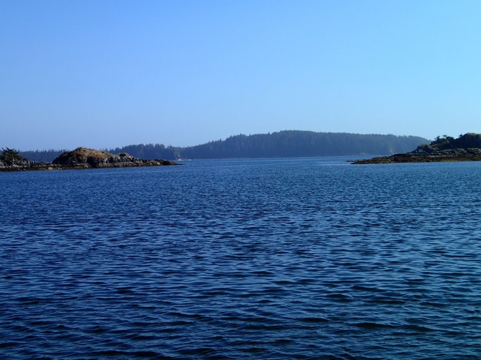
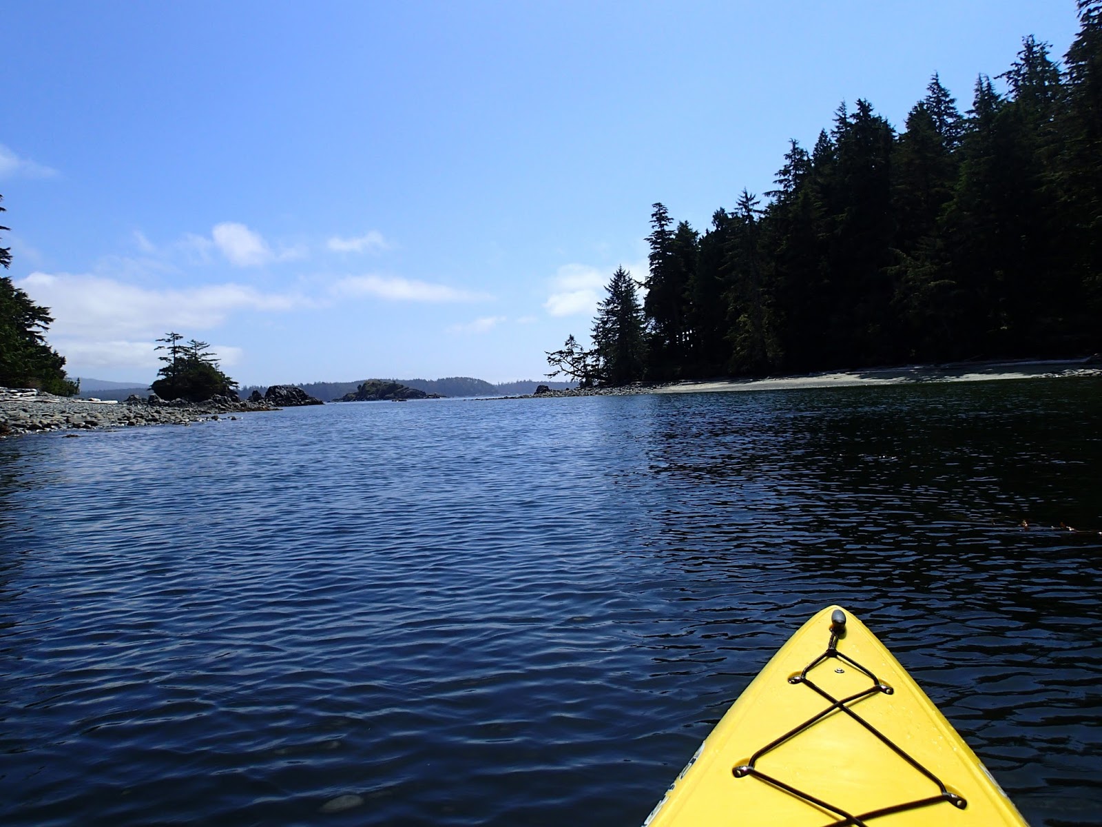
Next day we headed out of the Park over to the Pinkertons. We found solitude, and stayed put for three nights (only one other boat came in). We got in a couple of good kayak trips, and even spent a few hours losing lures and flashers (as opposed to catching any fish -- well, we caught a couple too small ones we returned to the sea). Mornings were very foggy, but usually the sun burned off the fog and the afternoons were sunny.

Kayaking in the Broken Group

Pelagia, anchored in the Pinkertons

Next, we moved to Pipestem Inlet, to the anchorages near Lucky Creek, where we are currently. After trying a couple anchorages with only partial success (rocky bottom), we finally got a spot behind Refuge Island later when others left. Sea water temps are up to 23.5 degrees C -- great swimming temperatures; Sea of Cortez temperatures. So we have been in the water multiple times. Nights, so far, have been very calm. Last night, we scored a huge filet of fresh-caught salmon from folks on the Victoria-based sailboat "Saturnus" -- very very nice of them to come to the aid of this terrible fisherman (David). Today, we kayaked up Lucky Creek to its great fresh water swimming pools and falls.

Kayaking up Lucky Creek

Lucky Creek

Cool, clear water of Lucky Creek

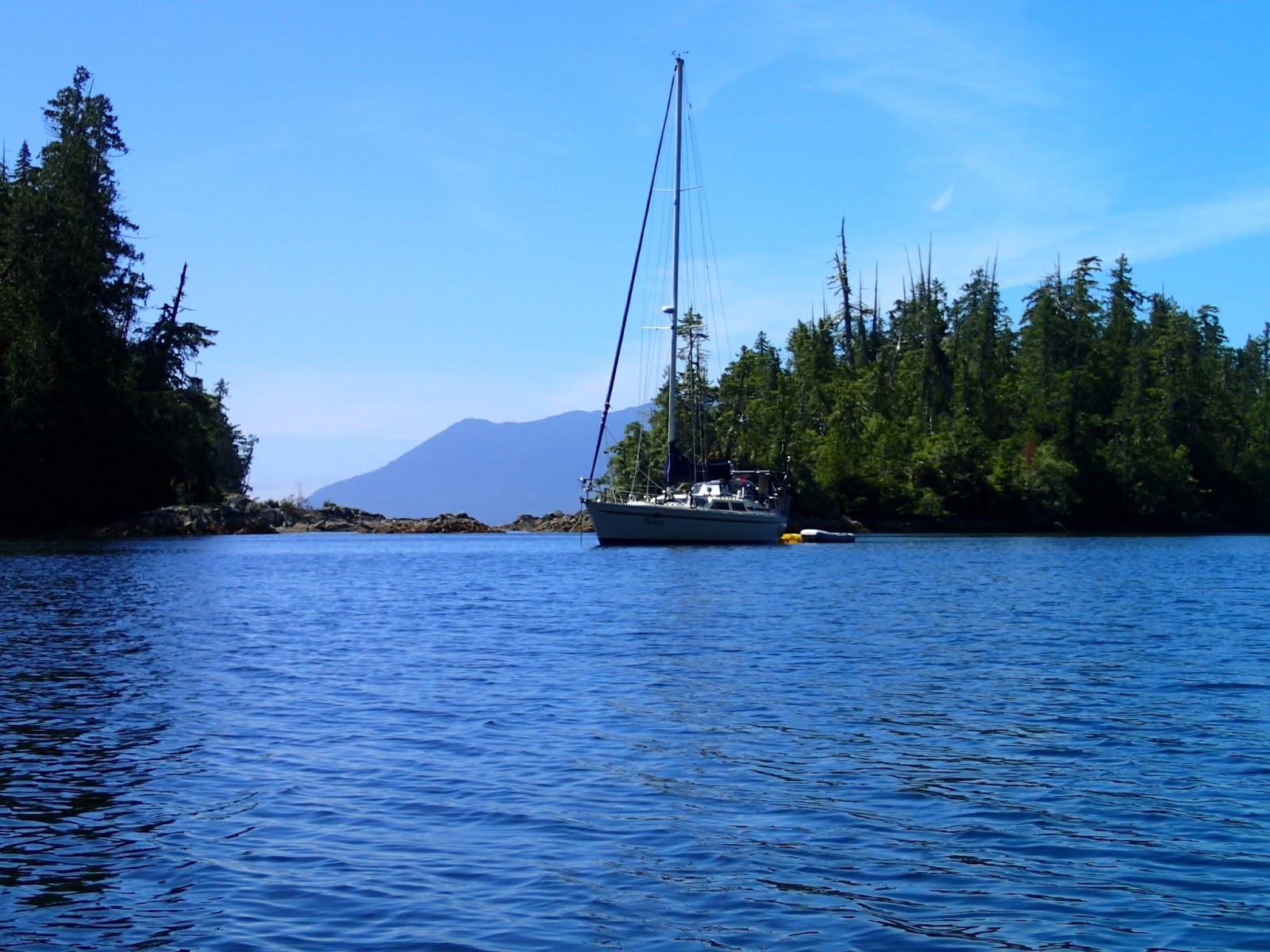
After Lucky Creek, we picked up some fuel and water in Bamfield, then headed over to Dodger Channel.* Dodger is a great location: a wild, west coast anchorage (you can hear the swells breaking outside, yet it is calm inside), close to Cape Beale and hence a great jumping off spot to head south/east to Sooke.

* Note: the South entrance to Dodger Channel is only about 3 feet at zero tide, contrary to the 9+ feet indicated by at least one popular guidebook, as well as the 2.8 metres (>9')  suggested by the CHS chart (however, the CHS chart does not indicate this is the minimum depth).

We spent two nights at Dodger, trying to judge weather, allowing us some kayak time.

Kayaking in Dodger Channel area